
Svalbard is a Norwegian archipelago between mainland Norway and the North Pole, it used to be known by its Ductch name: Spitsbergen. One of the world’s northernmost inhabited areas, in fact Svalbard is the northernmost settlement in the world with a permanent civilian population. It was first settled as a whaling base in the 17th century but later abandoned, coal mining started in the 20th century. Today there is still mining but it is also an important place for research and latterly tourism.
The climate of Svalbard is dominated by its high latitude, with the average summer temperature at 4 to 6 °C (39 to 43 °F) and January averages at −16 to −12 °C (3 to 10 °F).[98] The West Spitsbergen Current, the northernmost branch of the North Atlantic Current system, moderates Svalbard’s temperatures, particularly during winter. Winter temperatures in Svalbard are up to 20 °C (36 °F) higher than similar latitudes in Russia and Canada. The warm Atlantic water keeps the surrounding waters open and navigable most of the year. The interior fjord areas and valleys, sheltered by the mountains, have larger temperature differences than the coast, giving about 2 °C (4 °F) warmer summer temperatures and 3 °C (5 °F) colder winter temperatures. On the south of Spitsbergen, the temperature is slightly higher than further north and west. During winter, the temperature difference between south and north is typically 5 °C (9 °F), and about 3 °C (5 °F) in summer
The Northern Lights are visible during winter, and in summer it becomes ‘the land of the midnight sun’ as there is sunlight for 24 hours a day. The archipelago features an Arctic climate, although with significantly higher temperatures than other areas at the same latitude. At 74° north, the midnight sun lasts 99 days and polar night 84 days, while the respective figures at 81° are 141 and 128 days.
The flora take advantage of the long period of midnight sun to compensate for the polar night. Seven national parks and twenty-three nature reserves cover two-thirds of the archipelago, protecting the largely untouched, yet fragile, natural environment. Approximately 60% of the archipelago is covered with glaciers, and the islands feature many mountains and fjords.
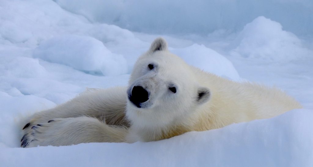
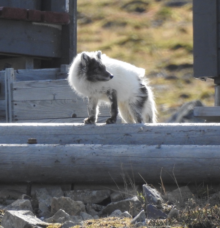
It is known for its rugged, remote terrain of glaciers and frozen tundra sheltering polar bears, Svalbard reindeer and Arctic foxes.
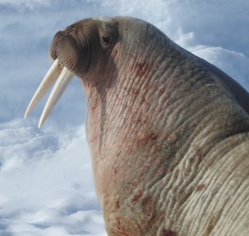
There are, too, some special breeding birds (almost all 30 species are migratory, the exception being ptarmigan) and around twenty species of marine mammals including whales, dolphins, seals and walrusses. The only other land mammal is the scarce and local southern vole.
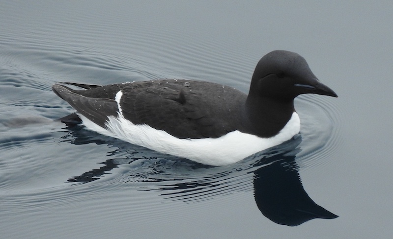
The only passerines are Snow Buntings and Wheatears and the majority of species are seabirds, including auks, skuas, ducks, terns, fulmars and kittiwakes.
Attempts to introduce arctic hares and muskox failed. Glacial ice covers 60% of the land and 30% id barren rock leaving just 10% of the archipeligo vegetated with around 165 species of plants having been found on the archipelago.
Major Source: Fatbirder
Photo Source: © Chris Lotz
Map Source: Googlemaps™