
Whatever mental images that you have of Bolivia, get rid of them. Pretend that you have never even heard the name before. Now that you have no preconceptions I will try to put the pieces of a new jig-saw together to create a completely new picture of Bolivia for you.
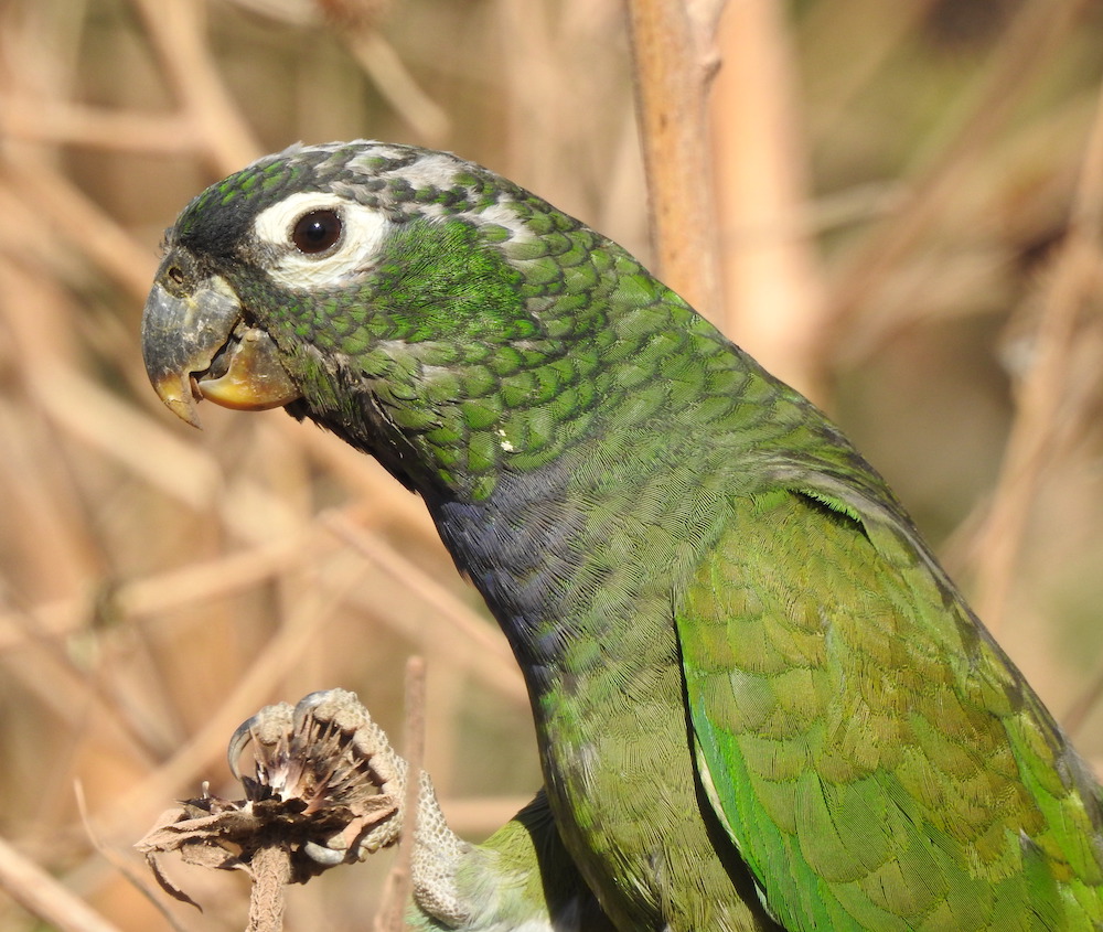
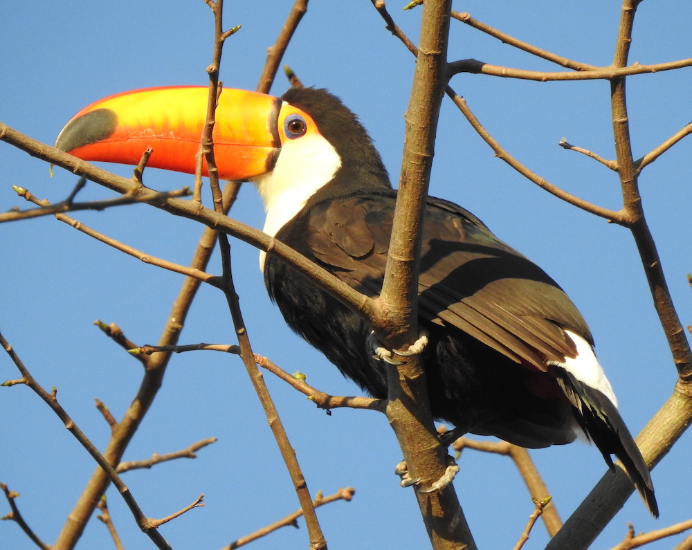
First imagine hundreds of kilometres of hot and humid Rainforest with Parrots, Toucans, Ovenbirds and Antbirds abounding. File this in your archive. Now imagine a vast area of hot tropical, varied grasslands with palms trees, and river-edge tropical forest, and dry thorny forest patches. Imagine the Jabiru, Storks, Ibises, Ducks, and Herons in abundances beyond counting – they seem to be everywhere. Add 7 species of Macaw (including one of the world’s rarest Parrots and endemic to this region – the Blue-throated Macaw); Rheas and Crane Hawks. Now go southeast from these Semi-inundated Beni Pampas to the flooded marshes of the Pantanal, with its awesome Hyacinth Macaw. Here are Giant River Otters and marsh birds flitting through the reeds.
Now imagine these open areas flooded with Austral migrants from Argentina – massive mixed flocks of Seedeaters. Add to this image under our label Bolivia, a massive extension of dry Chiquitania forest, which spreads south to the open dry forests of the Chaco. And now, after covering 60% of the country we reach the Andes Mountains. Imagine yourself at the lowland base of the Andes, ready to slowly drive up the slope to experience the altitudinal arrangement of bird communities, from 500m to 1000m, to 1000m to 2000m, to 3000m to 3600m. But before you start your climb you can see the humid wet yungas bird community, or would you rather climb the dry edge with cactus and scrub and highly adapted birds to these regions.
Finally (and it should be the final part to any real visit to allow your body to adjust to the altitude changes) add cold, clear-air sites of the high Andean altiplano, the 3 flamingo species of Lake Ururo, and the Flightless Grebe of Lake Titicaca. And place on top of these images, the high altitude threatened Polylepis forests of Bolivia such as San Miguel with 8 endemic species – creatures adapted to a species of tree that is going extinct as it is cut down for firewood.
Add to this habitat diversity, a gentle, kind diversity of people. A population of less than 9 million, Bolivia is still 80% undeveloped. Travel through indigenous cultures, many different local languages, clothes, faces and shapes adapted to the varying climates the country offers. Each new bird community holds a habitat change that adds a new dish to the local menu. High Andean cactus fruits down to Lowland tropical fruits like Chirimoya, Mango, Guineo, Leche de majo, and many more.
The Bolivian novice should first come for a sample trip. Beginning from the city of Santa Cruz, visiting the dry Andes, the temperate foothill forest, the dry forest and the open areas with Chaco influence of Santa Cruz’s city park Lomas de Arena. Fly to Cochabamba (middle height) to drive down the wettest Yungas of Bolivia, down, down into the hot heat. Go see the Oilbirds, and try to find a Cock-of-the-Rock. Spend a night in Cochabamba to head to the Polylepis forest in Tunari Park for a day – and don’t leave without seeing the Cochabamba Mountain-Finch – since that is the only place you can see it. Fly to La Paz, and spend a day at Lago Titicaca, and another few days back down Yungas. Fly to Trinidad and wow at the exaggerated abundances of these tropical open area birds. And then fly to Santa Cruz to finish the trip.
Bolivia is the ideal place to start to learn the birds of South America. After a trip in Bolivia, you will know all the major habitat types South America has to offer. For some the humidity is too much, for some the thin cold air is draining, for some the dry forest bugs are intolerable and for some it is all just beautiful.
Major Source: ©Fatbirder
Photo Source: ©
Map Source: ©Wiki Commons