
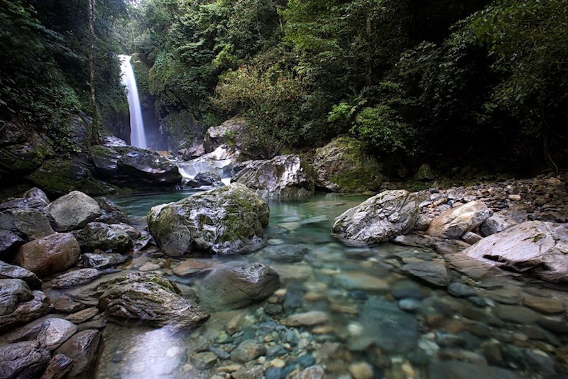
Guatemala covers 108,900 sq km ranging in altitude from sea level to 4,200 m (13,800 ft). The country’s topography includes steep mountain ranges and volcano chains, weather-protected interior valleys and lowland areas exposed to water-loaded warm air masses from the Gulf of Mexico and the Caribbean, as well as coast along the Caribbean Sea and the Pacific Ocean. The rough topography causes a high diversity of habitats, including lowland rainforests, mountain cloud forests, pine-oak forests, high-altitude fir forests, alpine scrub and savannahs, arid thorn scrub, mangroves, extensive interior and coastal wetlands.
A total of 21 Important Bird Areas have been designated by BirdLife International and approximately a third of the Guatemala’s land area is legally protected.
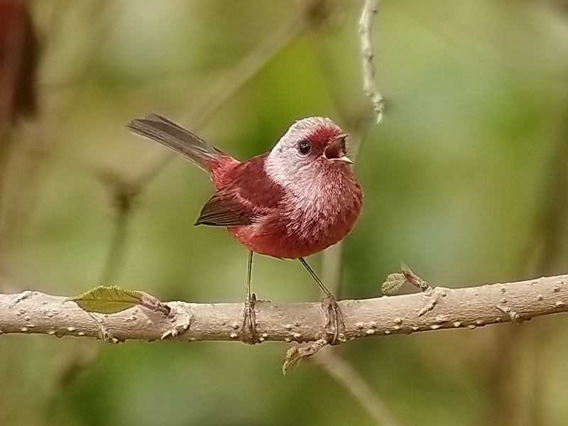
The Guatemalan mountains are part of the highlands ranging from the Isthmus of Tehuantepec in southern Mexico to the Lake of Nicaragua. These highlands harbour a number of endemic bird species and have been designated as Endemic Bird Area EBA 018.
Guatemala is the core area of distribution for many of these endemics, and some of them, such as Horned Guan, Bearded Screech-Owl, Black-capped Siskin, Pink-headed Warbler, Goldman’s Warbler, and Azure-rumped Tanager occur only in the highlands of Guatemala and the neighbouring Mexican state of Chiapas.
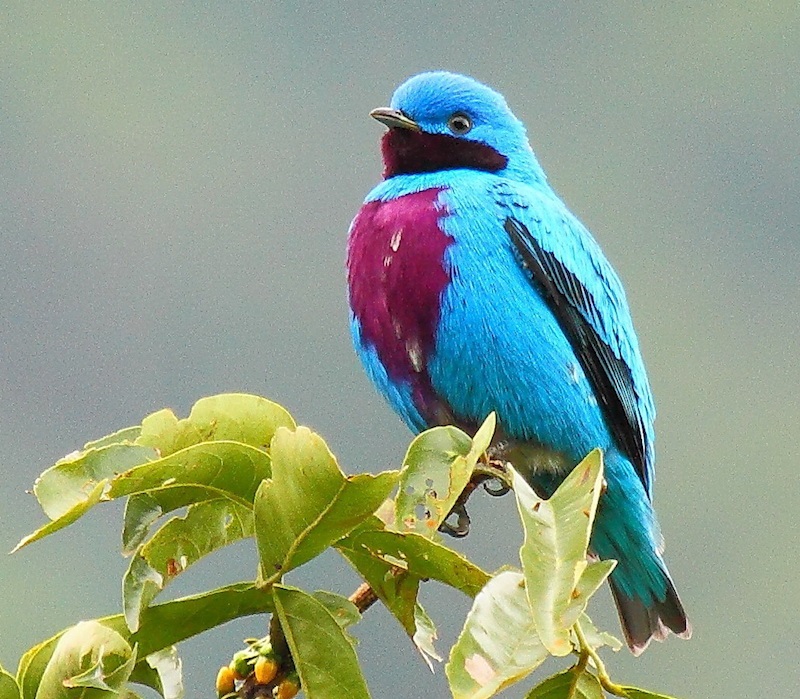
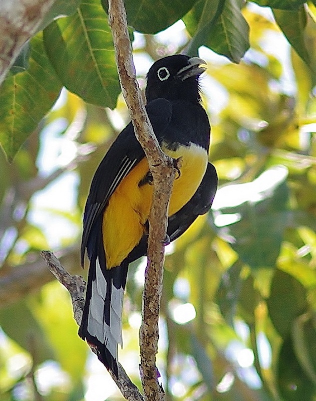
Guatemala is an attractive birding destination with more than 740 bird species formally recorded, a well-maintained road system, a network of comfortable lodges and hotels, private and state nature reserves.
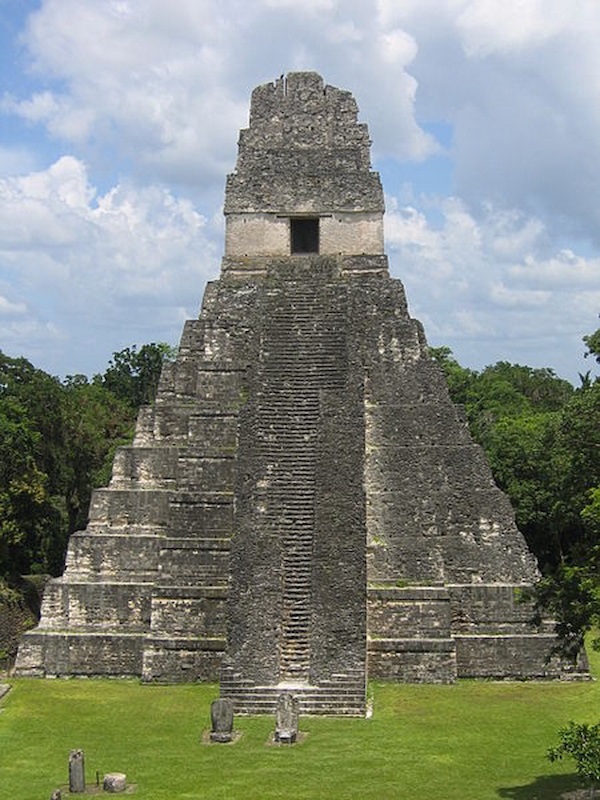
In addition, unlike any other Central American countries, Guatemala has a vibrant living Mayan culture combined with an impressive pre-Columbian Mayan history, witnessed by top-notch birding sites such as Tikal with its towering temple pyramids amidst the vast rainforest.
Major Source: Fatbirder
Map Source: Googlemaps™
Photo Source: © Birding Ecotours